Skaftafell at a Glance
Skaftafell sits at the foot of Vatnajökull, Europe's largest ice cap, roughly 327 km east of Reykjavík on the Ring Road between Kirkjubæjarklaustur and Höfn. It was its own national park from 15 September 1967 until 7 June 2008, when it merged into the new Vatnajökull National Park; the whole park joined the UNESCO World Heritage list in 2019. That's why you'll see both names online — "Skaftafell National Park" is the old label, and the maps, signs and fees now all say Vatnajökull.
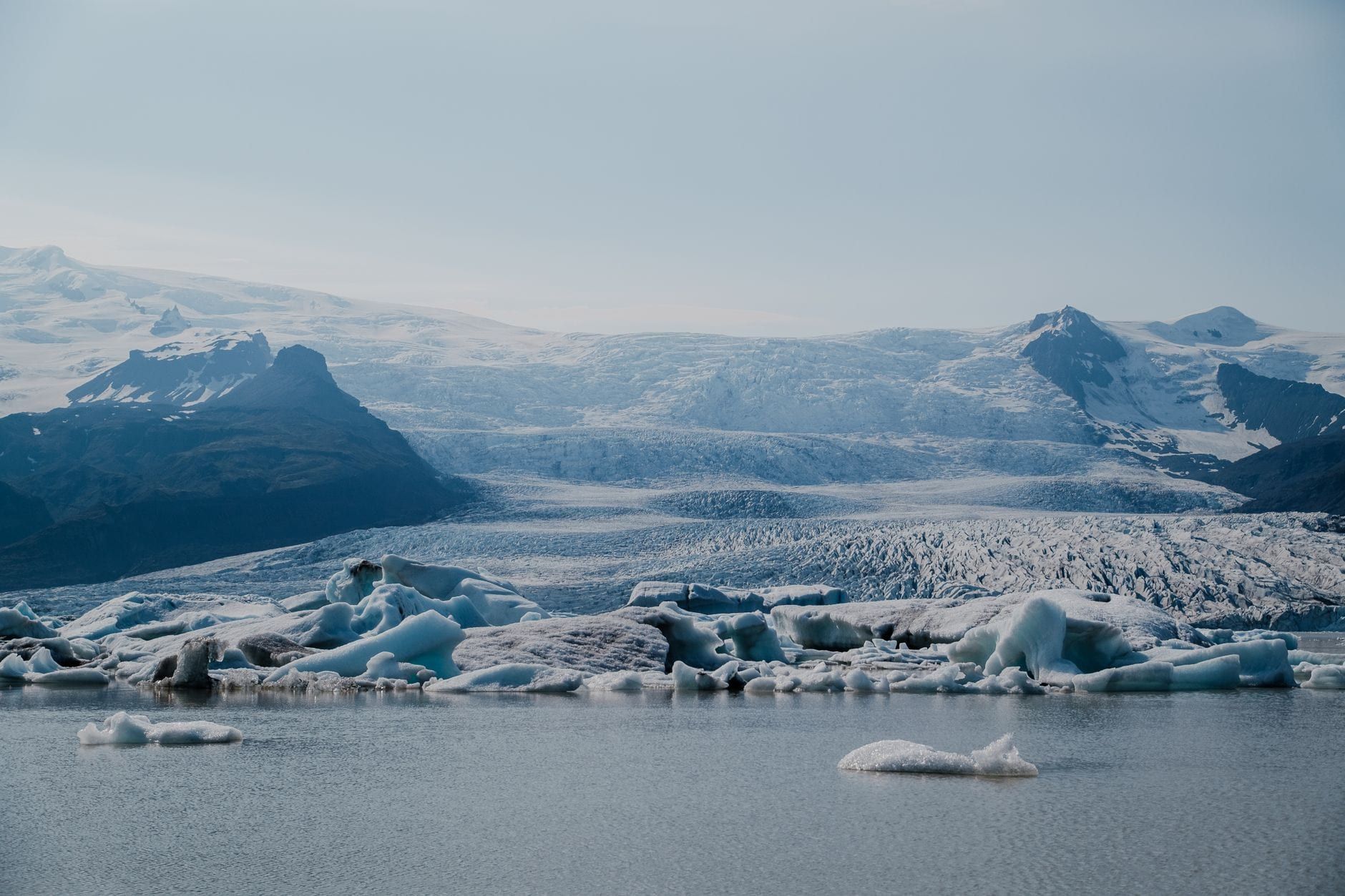
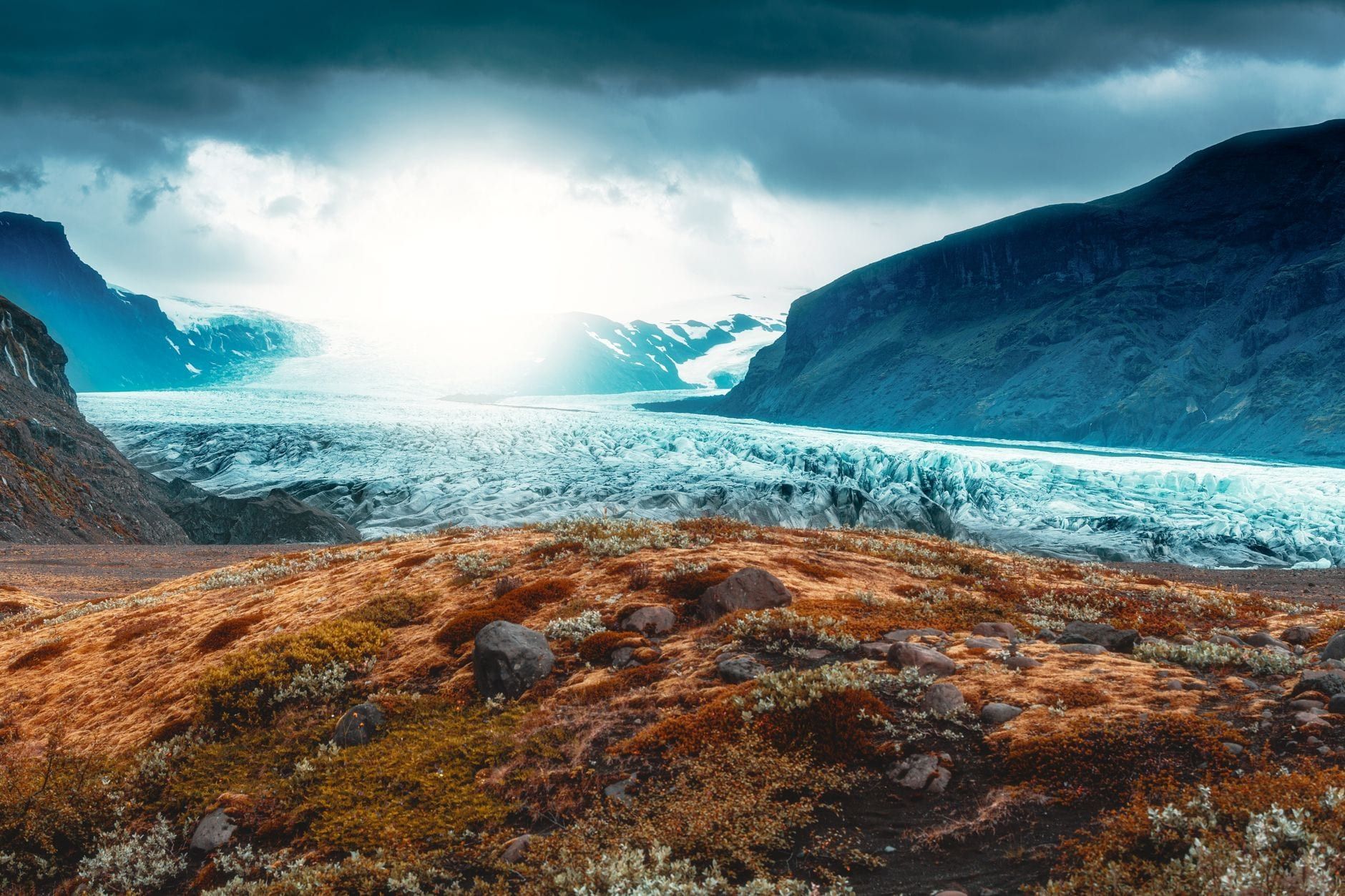
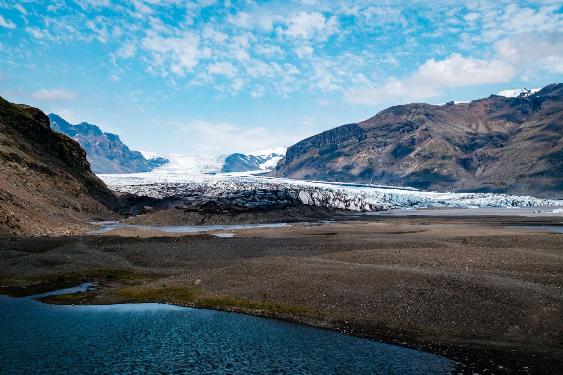
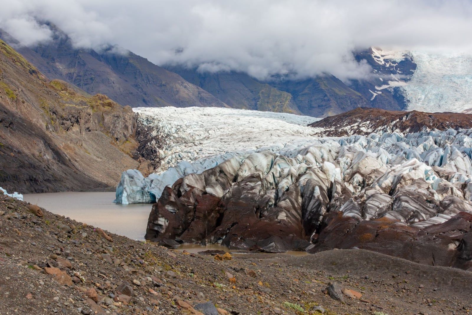
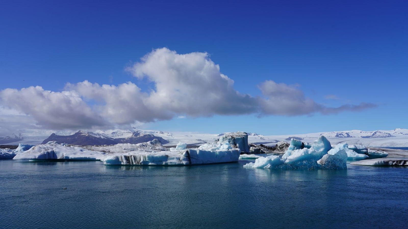
The landscape here is the product of two forces working in turns. The volcano under Öræfajökull erupted in 1362 in the largest pumice eruption in Iceland's recorded history, wiping out the local settlement — the district has been called Öræfi, "the wasteland", ever since. Then the ice took over: three outlet glaciers (Skaftafellsjökull, Svínafellsjökull and Morsárjökull) spill off the ice cap toward the lowlands, and in November 1996 a glacial flood from the Gjálp eruption tore the 880-metre Skeiðará bridge off its footings downstream. Skaftafellsjökull itself has retreated about 53 metres per year since 1999 and has ended in a small lake since 2010 — the viewpoint trail now crosses a foreland that was under ice within living memory.
Is it worth the stop? Yes, and for most South Coast itineraries it's the best stop. Entry is free, every trail starts from one car park, and within ninety minutes you can stand in front of a glacier snout; add a morning and you reach Svartifoss, the basalt-column waterfall that inspired Hallgrímskirkja in Reykjavík. The lowlands are surprisingly green — birch woodland, around 314 moss species and 287 lichen species — with Arctic foxes in the uplands and waders on the outwash plains. You can read more background in our guide to Skaftafell and its history.
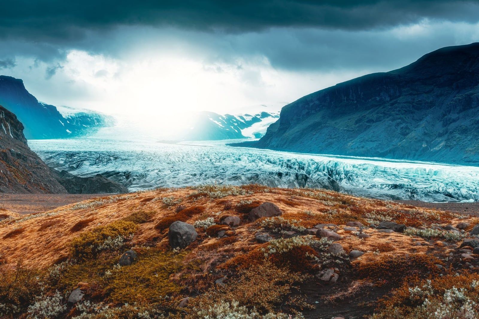
Best Time to Visit Skaftafell
Pick your season by what you came for. Summer (June–August) brings daytime temperatures of 10–15 °C, near-continuous daylight around the June solstice, and every trail open from valley floor to summit; it also brings the crowds, so start hiking before 10:00 or after 18:00, when the tour buses thin out. June and July are the most reliable months for weather, and July is usually the warmest.
May and September trade a few degrees and some green for noticeably quieter trails. September in particular is a good compromise: the campsite empties, the light goes low and golden, and the main paths are still clear.
Winter is the season most guides mis-describe. Because Skaftafell sits at low altitude by the sea, it gets rain rather than much snow — so the lower trails stay open all winter but turn muddy and icy, while high routes like Kristínartindar are buried and frequently storm-closed. Daylight shrinks to roughly 4–5 hours from November to February and temperatures can drop below −10 °C. The payoff is the one thing winter alone delivers: blue ice caves, roughly October to April, when the glacier is cold and stable enough to enter. Trails themselves are open 24 hours a day, year-round.
- Svartifoss and the viewpoints: any month, with grips in winter
- Glacier hikes: year-round, guided only
- Ice caves: about 1 October to 30 April only
- Kristínartindar and high trails: June to September
Getting There, Parking & Fees
Driving yourself is the standard way in. From Reykjavík follow the Ring Road east for about 327 km — 4 to 4.5 hours — past Vík and across the Skeiðarársandur outwash plain; the road is paved the whole way and fine for a 2WD in summer. The Skaftafell turnoff is Route 998, signposted off the Ring Road, with the large parking area just under 2 km up the access road beside the visitor centre. Vík is about 140 km west (a 2.5-hour drive with stops), Kirkjubæjarklaustur 69 km west, and Höfn 130 km east. Full route notes are in our directions guide to Skaftafell.
Without a car, Strætó route 51 links Reykjavík to Höfn via Vík and Skaftafell in summer, taking close to seven hours and costing 13,200 ISK one-way for adults (half price for ages 12–17 and seniors; children under 12 ride free). Check straeto.is before planning around it — service is seasonal and thin. Guided South Coast day and multi-day tours from Reykjavík also stop here, though many day tours continue straight to Jökulsárlón without a Skaftafell pause, so read the itinerary before booking.
| Vehicle | Fee (ISK) |
|---|---|
| Motorcycle | 450 |
| Car, 5 seats or fewer | 1,110 |
| Car, 6–9 seats | 1,440 |
| Bus, 10–21 seats | 2,770 |
| Bus, 22–32 seats | 5,200 |
| Bus, 33 seats or more | 9,400 |
Payment is at the machines in the lot, via the Parka app, or online after the camera photographs your plate. The fee is valid until midnight of the day you pay, so you can drive in and out freely. And there's a discount worth knowing: if you visit another fee-charging area of the park — Jökulsárlón is the obvious one — on the same date, the second area costs 50% less. Current opening hours and fees are listed here. One more thing: the lot fills on summer afternoons. Arrive early.
Skaftafell Visitor Centre
Skaftafellsstofa, the visitor centre beside the car park, is open all year: 9:00–19:00 June to August, 9:00–18:00 in September and October, 9:00–17:00 from November to May except December–February, when it opens at 10:00. Make it your first stop anyway, because the rangers' trail-condition briefing is the single most useful five minutes at Skaftafell — they'll tell you which paths are icy, which are muddy, and whether Kristínartindar is realistic today. Phone them on 470 8300 if you're deciding from the road.
Inside there are geology exhibits, free maps, a café, a souvenir shop stocked with regional handicrafts, and toilets. The exhibition room screens a short film with footage of the 1996 glacier flood that took out the Skeiðará bridge — worth twelve minutes before you walk out onto the flood-shaped foreland. Guided tours and gear pickups depart from the base camp just outside.
Svartifoss & the Best Hiking Trails
All trails start at the car park, are marked and open around the clock, and need no permit or booking. Pick by the time you have — the table below covers the network from a 90-minute leg-stretch to an 8-hour mountain day, and the guided hike options cover the ice itself.
| Trail | Distance | Time | Difficulty |
|---|---|---|---|
| S1 Jökulslóð glacier-viewpoint loop | 4.1 km | 1–1.5 h | Easy |
| Svartifoss out-and-back | 5.8 km | ~2 h | Easy+ |
| Svartifoss–Sjónarsker–Sel loop (S2) | 5.5 km | 2–3 h | Easy to moderate |
| Svartifoss–Sjónarnípa circuit | 7 km | 2.5–3.5 h | Moderate (250 m gain) |
| Kristínartindar (S4) | 18 km | 6–8 h | Difficult (~1,000 m gain) |
| Morsárdalur valley (M1–M3) | 15–30 km | 4–8 h | Moderate, low gain) |
S1: The Glacier Viewpoint Loop
The easiest glacier encounter in Iceland is a 4.1 km loop across the foreland to a viewpoint facing the Skaftafellsjökull snout across its young proglacial lake — the water has only existed since about 2010. Numbered markers from the Melting Glaciers project interpret the retreat as you walk past kettle holes and low moraine ridges, and the surface is easy gravel and moraine throughout. Allow 1–1.5 hours at a stroll. Don't be tempted off the path toward the ice: the lake and the ice margin are off-limits without a guide.
Svartifoss: The Black Waterfall
Svartifoss drops about 20 metres over a wall of dark hexagonal basalt columns — the formation said to have inspired the facade of Hallgrímskirkja in Reykjavík. From the visitor centre it's 5.8 km round trip, graded Easy+ but with wooden and stone steps, and about two hours at an unhurried pace; you'll pass Hundafoss and then Magnúsarfoss on the way up through birch woodland. A viewing platform sits across from the falls. Go before 10:00 or after 17:00 in summer — by midday the platform is a queue. We cover timing, light and route options in the separate Svartifoss waterfall guide.
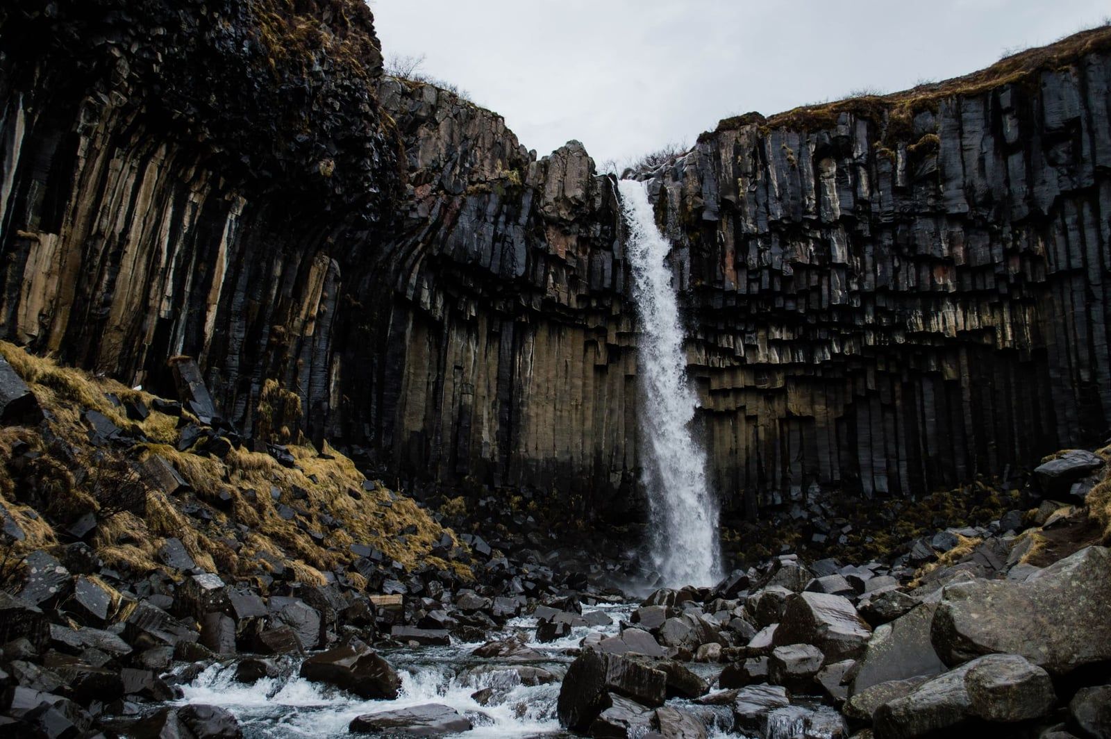
The Sjónarsker Viewpoint and Sel Turf Houses
Rather than returning the same way, continue past Svartifoss on the 5.5 km loop (2–3 hours) to Sjónarsker, a viewpoint with a 360° landmark dial that names every peak, glacier and plain on the horizon. The route then drops to Sel, a cluster of turf-roofed farm buildings restored to look as they did when people farmed here in the nineteenth century. This loop is the best single walk at Skaftafell if you only do one: three waterfalls, the dial, the turf houses, and a view down onto the glacier foreland.
Sjónarnípa: The Glacier Panorama
The 7 km Svartifoss–Sjónarnípa circuit climbs about 250 m to a rocky prow hanging directly above the Morsárjökull ice. This is the payoff view: glacier below you, ice cap above, and the outwash plain running to the sea. On the descent the trail passes the Hrútigil gorge lookout. It's a moderate half-day, and the section above Svartifoss holds snow later into spring than the valley trails — ask at the visitor centre before committing.
Kristínartindar: The Big Day
Skaftafell's most demanding hike is the 18 km S4 circuit up Kristínartindar, a 1,126 m twin-peaked mountain east of the heath, with roughly 1,000 m of climbing and 6–8 hours on your feet. From the top you can trace both of Skaftafellsjökull's icefalls, the dark medial moraine between them, and the whole retreat story written into the foreland. It's for fit, equipped hikers in settled weather only — storms close the route even in summer, and in winter it's buried. Check the forecast and talk to the rangers first.
Morsárdalur and Beyond
The Morsárdalur valley trails are long but gentle: Bæjarstaðarskógur (M1) is 15 km through birch woodland, Morsárjökull (M2) is 20 km to a glacier tongue, and Kjós (M3) runs 30 km. Multi-day walkers heading into the highlands camp one night above 400 m under the park's backpacking exception — otherwise, these are full days out with no facilities en route.
Svínafellsjökull: The Quieter Glacier
Ten minutes' drive east (or a long walk), Svínafellsjökull is the neighbouring outlet glacier on the far side of Hafrafell. The old access road is closed; a new parking area on the Ring Road side leaves an 800 m walk to the glacier's edge, and the crowds here are a fraction of Skaftafell's. It's a working filming location and one of the most approachable glacial fronts in the country. The same rule applies: stay off the ice without a guide.
Glacier Hikes, Ice Caves & Guided Adventures
Walking on the ice is allowed only with a certified guide. Crevasses and moulins open and shift constantly, the ice is a few degrees colder and far windier than the car park, and Skaftafellsjökull itself now ends in a lake — so tours from Skaftafell run on nearby Falljökull instead, a short drive to the meeting point at the base camp.
Guided Glacier Hikes
The standard trip is a 3-hour crampon walk on Falljökull, from about 13,126 ISK per person, with harness, helmet and ice axe provided and a minimum age of 8. You'll cross deep crevasses on roped terrain and stand under an icefall of ancient blue ice. Longer versions add ice climbing on a vertical wall for anyone who wants to swing tools. Hikes run year-round, though summer has the widest choice of departures. Our Skaftafell glacier hike guide covers what to expect minute by minute.
Blue Ice Caves
Ice cave season runs from about 1 October to 30 April, when four-hour combination tours visit a natural blue ice cave and the glacier itself, departing around 9:00, 10:00, 13:30 and 14:00. The caves reform in a new spot each autumn, so no two seasons are the same — the current canyon-style cave, open to the sky, suits travellers who'd find a tunnel claustrophobic. You can't enter any ice cave unguided; the ceiling decides what's safe, and only guides read it. See the available ice cave tours and our Skaftafell ice cave guide for season detail.
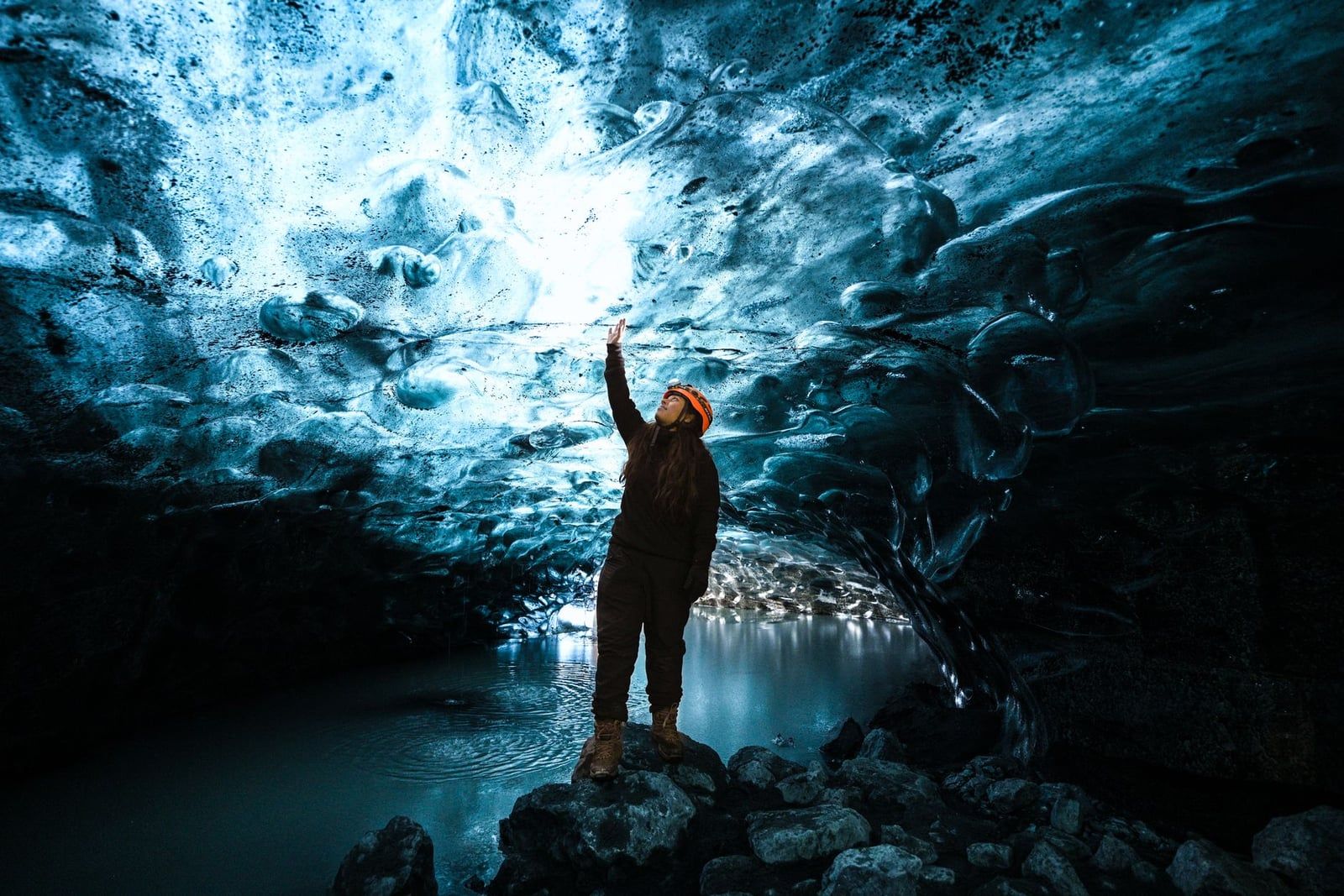
Hvannadalshnúkur: Iceland's Roof
Hvannadalshnúkur, at 2,110 m the country's highest peak, is climbed from Skaftafell on a guided day of roughly 15 hours, leaving in the small hours to cross the Öræfajökull ice cap in daylight. It's a serious mountain day, not a long hike — book well ahead and only with recent crampon experience. In every season, reserve glacier and cave tours in advance; summer departures sell out, and last-minute spots are unreliable.
Camping, Where to Stay & Where to Eat
The campsite next to the visitor centre has around 400 pitches and opens year-round, with showers, laundry and dish-washing at its centre. It costs 2,800 ISK per person per night (ages 17–66), 2,300 ISK for seniors and disabled visitors, free for children 16 and under, and 1,500 ISK extra for electricity. No bookings are taken — arrive by late afternoon in July and August or expect to hunt for a spot, and note that tent camping isn't recommended from September to May. The position is hard to beat: you wake up minutes from the S1 trailhead.
For a bed, Hotel Skaftafell sits just off the access road and books out early in summer; smaller guesthouses and lodges cluster at Svínafelli and Kálfafell nearby. Otherwise use the base towns — Kirkjubæjarklaustur 69 km west, or Hof and Höfn 20–130 km east — both within easy reach for a Ring Road night. An overnight nearby beats a Reykjavík day trip, which means eight-plus hours of driving before any hiking.
Eating options are limited but adequate. The visitor centre café covers coffee and cake; the seasonal Glacier Goodies food truck between campsite and centre does lobster soup and fish and chips; and the Shell station at Freysnes on the Ring Road serves hot dishes and pizza into the evening. For a sit-down dinner, drive to Kirkjubæjarklaustur west or Höfn east — the latter is Iceland's langoustine capital.
Skaftafell in a Day & Nearby Stops
With 2–4 hours, do this: park, check the board at Skaftafellsstofa, then walk the S1 glacier loop (1–1.5 h) or head up to Svartifoss and back (2 h). Families should combine Svartifoss with the Sjónarsker–Sel loop — the 5.5 km circuit packs in waterfalls, the 360° landmark dial and the turf houses at an easy pace, and suits school-age children.
With a full day, pair a morning guided glacier hike (3–5 hours) with the afternoon Svartifoss–Sjónarsker–Sel loop. That's the ideal Skaftafell day: ice in the morning when the light is flat and firm, waterfalls and viewpoints in the softer afternoon. Fit hikers can swap the loop for the Sjónarnípa circuit.
On a Ring Road itinerary, Skaftafell slots neatly between Vík and the glacier lagoon. Stop at the Skeiðará Bridge Monument just west of the park on Route 1 — two twisted steel girders are all that remains of the bridge destroyed in the 1996 flood. Jökulsárlón and Diamond Beach lie 56 km east, about 45 minutes, and paying for both fee areas in one day earns the 50% discount on the second. Westbound, Fjaðrárgljúfur canyon near Kirkjubæjarklaustur is a roughly one-hour drive. Two to four hours is the floor at Skaftafell, not the ceiling — most people stay longer than they planned.
Essential Tips: Safety, Packing & Etiquette
Weather at Skaftafell changes in minutes, even in July. Dress in breathable layers with waterproof and windproof shells, and wear boots with ankle support and stiff soles — the glacier tours require hard-soled boots for crampons and ban jeans outright. On the ice add gloves, a hat, sunglasses and sunscreen; the glare off the glacier is fierce.
- Layers, waterproof shell, warm hat and gloves
- Sturdy waterproof boots (crampon-compatible for tours)
- Water, snacks, sunscreen and sunglasses
- Offline park map downloaded before you arrive
Before any hike, check the forecast at vedur.is or yr.no and road and trail conditions at Safetravel.is; solo hikers should file a travel plan through the SafeTravel Iceland app. Never step onto glacier ice or floating lagoon ice without a guide, and treat winter high routes as experienced-hiker terrain only. Respect the park's rules and they're simple: stay on marked paths, carry out everything you carry in, keep distance from wildlife, and don't fly a drone — recreational drones are banned across most of Skaftafell, with the sole exception of a seasonal window in front of Skaftafellsjökull. Book tours and rooms ahead for summer, arrive early for parking, and you've done everything that matters.
Frequently asked questions
Is there an entrance fee for Skaftafell National Park?
No — entry is free. You pay only a regional parking fee: 1,110 ISK for a passenger car with 5 or fewer seats, 1,440 ISK for 6–9 seats, more for buses. Pay at the machine, via the Parka app, or online after your plate is photographed; the fee is valid until midnight.
How much time do you need in Skaftafell?
Allow 2–4 hours for the short walks — the S1 glacier-viewpoint loop takes 1–1.5 hours and Svartifoss about 2 hours round trip. A full day fits a 3–5 hour guided glacier hike plus a trail; the 18 km Kristínartindar circuit alone needs 6–8 hours.
Can you visit Skaftafell in winter?
Yes. Trails are open 24/7 year-round and both the visitor centre and campsite stay open, but days shrink to about 4–5 hours of daylight, low trails get muddy and icy (the area sees more rain than snow), and high trails like Kristínartindar are snowbound. Winter is also the only season for blue ice caves, roughly October to April.
Do you need a guide to hike on the glacier?
Yes — any travel on glacier ice requires a certified guide with crampons, rope and harness; crevasses and moulins shift constantly. Tours from Skaftafell run year-round, last about 3 hours or more, and include all technical gear. Skaftafellsjökull itself is no longer walked — tours use nearby Falljökull.
How far is Skaftafell from Reykjavík and Jökulsárlón?
About 327 km and 4–4.5 hours from Reykjavík on the Ring Road. Jökulsárlón glacier lagoon is only 56 km east, roughly 45 minutes, so the two pair easily in one day — and the second parking fee is discounted 50% when paid the same date.
How hard is the Svartifoss hike?
Easy to moderate: 5.8 km round trip from the visitor centre with roughly 140 m of climbing, about 45 minutes up on a well-marked path with wooden and stone steps. Continuing past the falls to Sjónarsker and the Sel turf houses makes a 5.5 km loop of 2–3 hours.
Can you camp or wild camp at Skaftafell?
The campsite, yes: open year-round with around 400 pitches, showers and toilets, at 2,800 ISK per adult per night (2,300 ISK for seniors, free for children 16 and under). Wild camping is prohibited in the park, except that multi-day trekkers on foot may pitch one night above 400 m.
What is Skaftafell famous for — and is it worth visiting?
A glacier you can walk to on an easy trail, the basalt-column waterfall Svartifoss that inspired Hallgrímskirkja, and Hvannadalshnúkur, Iceland's highest peak at 2,110 m. With free entry and every trail starting from one car park, it earns its place on any South Coast itinerary.
Sources
- vatnajokulsthjodgardur.is/en/areas/skaftafell
- vatnajokulsthjodgardur.is/en/communities--businesses/pricelist
- vatnajokulsthjodgardur.is/en/communities--businesses/payment-of-camping-and-regi
- vatnajokulsthjodgardur.is/en/areas/skaftafell/skaftafellsstofa
- vatnajokulsthjodgardur.is/en/areas/skaftafell/destination-skaftafellsjokull
- en.wikipedia.org/wiki/Skaftafell
- straeto.is